

Optimizing sales strategy is paramount for any business aiming for sustainable growth. In today’s data-driven world, understanding where your customers are and where they’re buying is just as crucial as understanding what they’re buying. This is where the power of maps comes into play, transforming complex demographic and behavioral data into actionable insights. Far from being simple navigation tools, advanced mapping technologies offer a “treasure map” for businesses, guiding them to the most profitable selling locations.
The Power of Spatial Intelligence: Mapping Your Path to Profit
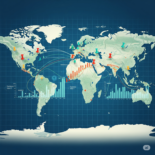
At its core, mapping to find the best places to sell products is about spatial intelligence. It’s the ability to visualize and analyze data based on geographic location. Tools like MapInfo, a leading geographic information system (GIS), empower businesses to do just this. Imagine overlaying customer demographics, income levels, competitor locations, and even traffic patterns onto a map. The patterns that emerge can reveal untapped markets, optimal store placements, or even highly localized marketing opportunities.
For instance, a coffee shop looking to expand won’t just pick a busy street at random. Using mapping software, they can identify neighborhoods with a high concentration of their target demographic (e.g., young professionals), analyze foot traffic data, assess the proximity of competitors, and even consider public transport accessibility. This data-driven approach minimizes risk and maximizes the potential for success. It’s about moving beyond intuition and embracing precise, data-backed decision-making.
Case Study 1: Retail Chain Optimization
A national retail chain was struggling with declining sales in several of its urban locations. Instead of widespread closures, they employed a GIS solution to analyze their entire store portfolio. The mapping system integrated various datasets: customer loyalty program data, census demographics, competitor locations, local economic indicators, and even projected urban development plans.
The analysis revealed that stores in areas with a declining young adult population were underperforming, while areas experiencing new residential development and an influx of families showed high potential. They also identified “cannibalization” – instances where two of their own stores were too close, drawing customers away from each other.
Armed with this spatial intelligence, the retail chain made strategic decisions: they closed a few underperforming stores in shrinking demographics, while simultaneously investing in renovations and targeted marketing for stores in growing family-oriented areas. They also identified prime locations for new smaller-format stores in previously underserved but high-potential neighborhoods. This targeted approach, guided by mapping insights, led to an overall increase in sales and a significant improvement in profitability within two years.
The Global Maze: Tariffs, Globalization, and Mapping Challenges
While the benefits of spatial intelligence are clear, the current global economic landscape presents unique challenges, particularly concerning Trump tariffs and the broader forces of globalization.
The United States, under President Donald Trump’s administration, implemented tariffs on a wide range of imported goods, including crucial technological components. GPS gadgets, sensors, and other specialized hardware essential for high-precision mapping and data collection often originate from countries subject to these tariffs. This directly impacts the cost of doing business. When the cost of acquiring and maintaining these sophisticated mapping tools increases, it drives up the overall expenditure for market research projects, making advanced spatial analysis less accessible for smaller businesses or those operating on tighter budgets. Research firms, in turn, have to pass on these increased costs, making the “treasure map” a more expensive endeavor.
Furthermore, globalization, while opening up vast international markets, also introduces complexities for mapping. Businesses seeking to understand global customer bases face a patchwork of different mapping systems and data standards across countries. A map projection used in one country might not seamlessly integrate with data from another. Beyond technical hurdles, trade barriers beyond tariffs, such as import quotas or restrictive customs procedures, can slow down the delivery of essential mapping equipment and software licenses. This makes it harder and more expensive for firms to conduct consistent, high-quality global market research, hindering their ability to identify and capitalize on international sales opportunities efficiently.
Case Study 2: Agribusiness Navigating International Markets
An agribusiness firm specializing in advanced agricultural technology wanted to expand its sales of precision farming equipment into developing economies. Their challenge was not just understanding the local agricultural practices but also the readiness of different regions to adopt new technologies. They initially struggled with inconsistent market data and varying land ownership structures across different countries.
They adopted a sophisticated mapping platform that could integrate satellite imagery, local weather patterns, soil data, and even socio-economic indicators. However, they faced significant delays and increased costs due to tariffs on specialized GPS-enabled sensors needed for their ground-truthing operations in some target countries. Additionally, importing the necessary high-performance computing equipment for data processing was hampered by complex customs regulations in others.
Despite these hurdles, the mapping solution proved invaluable. It allowed them to identify regions with suitable climates and soil types, combined with a willingness among farmers to invest in new technologies and access to relevant infrastructure. They pinpointed specific districts within countries that were most receptive, rather than broad regions. While the tariffs and trade barriers added to their operational costs and timelines, the precision offered by the mapping ultimately allowed them to prioritize markets effectively, avoiding costly missteps in less viable regions and leading to successful product launches in their chosen target areas.
Conclusion: Charting Your Course with Confidence
In an increasingly competitive global marketplace, leveraging maps to find the best places to sell products is no longer a luxury but a necessity. From understanding local demographics for a new coffee shop to navigating complex international markets for an agribusiness, spatial intelligence provides the clarity needed for strategic decision-making. While the economic headwinds of tariffs and the intricacies of globalization pose genuine challenges, the power of mapping to reveal market potential and optimize sales strategies remains an indispensable tool for any business looking to chart a confident course toward growth. By embracing these powerful tools, businesses can transform geographical data into actionable insights, turning a simple map into their most valuable sales asset.